我站仅对该软件提供链接服务,该软件内容来自于第三方上传分享,版权问题均与我站无关。如果该软件触犯了您的权利,请点此版权申诉。
+ 展开全部应用介绍
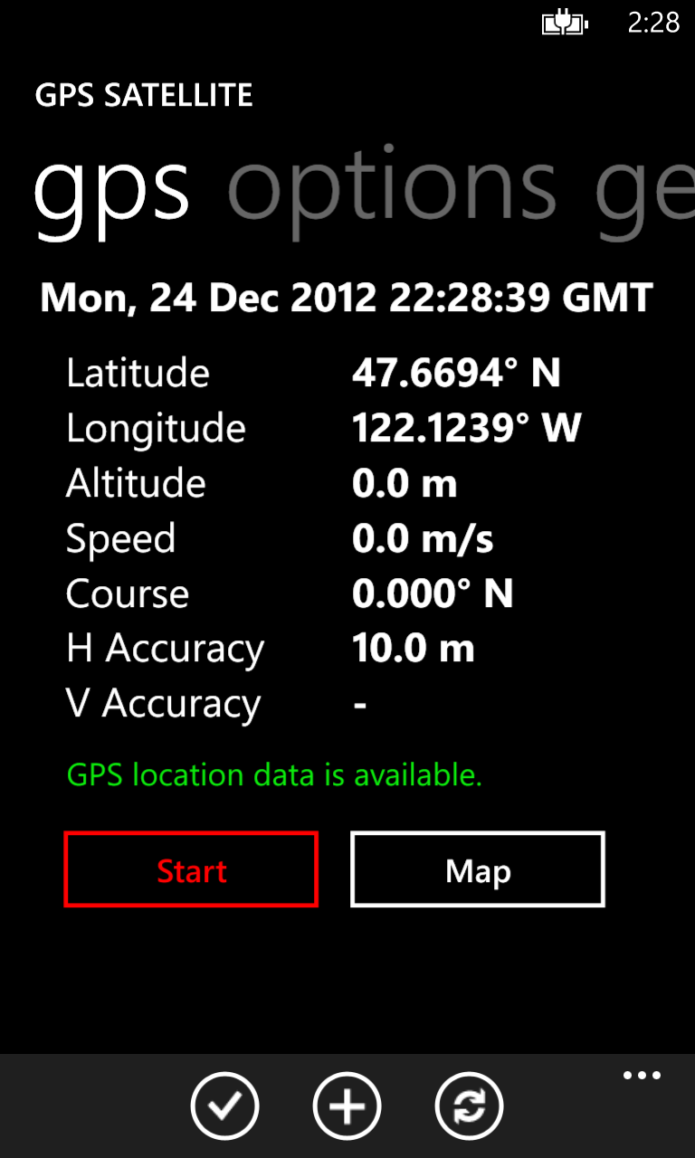
GPS Satellite provides the location and course data calculated from your phones global positioning satellite (GPS) receiver in conjunction with received orbiting global positioning satellite signals.
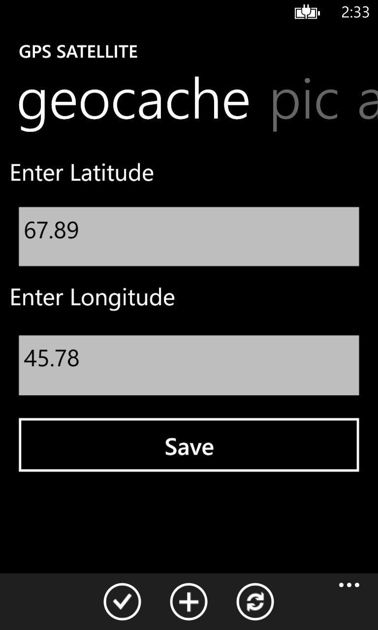
And, now, allows geocaching! Three (3) different geocaches can be displayed on the map.
Data includes:
* latitude
* longitude
* altitude
* speed
* course
* horizontal accuracy
* vertical accuracy
* date and time
* 3 geocache sites
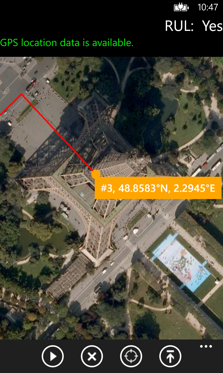
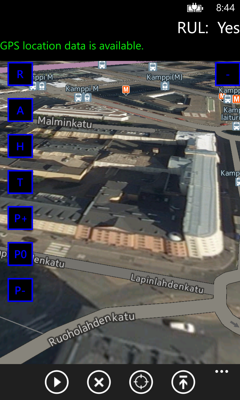
GPS Satellite also maps your location and path taken as you travel.
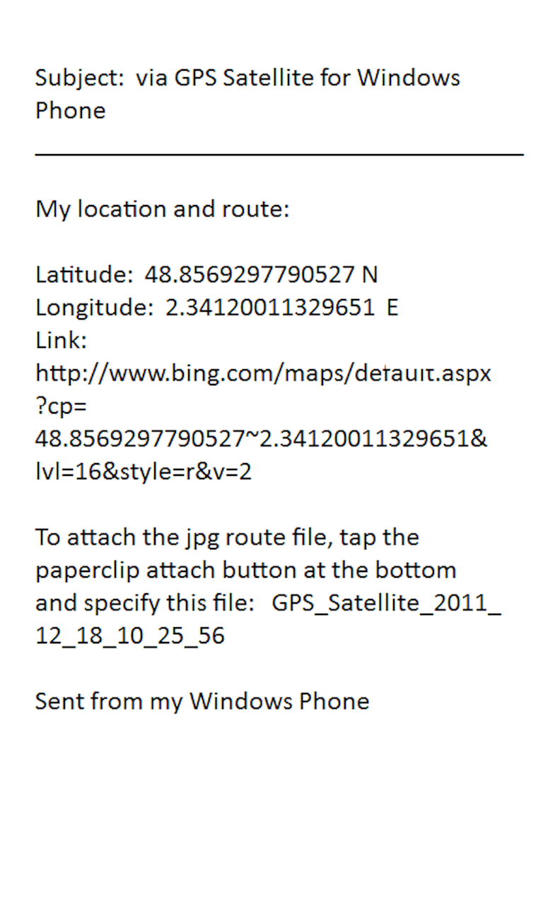
And, GPS Satellite allows you send the location (Bing map link, latitude, longitude, and image) and tracking information to the following:
* SMS
* email
* post to your favorite social network
* clipboard to paste into other applications
View the nice guide page explaining all features!
Coordinates can be displayed with:
* decimal degrees
* decimal degrees with direction
* degrees and minutes
* degrees, minutes, and seconds
Mapping allows you the following views:
* road
* aerial
* hybrid
* terrain
* pitch control
* pedestrian and landmark features
Speeds can be displayed with the following formats:
* miles per second
* miles per hour
* kilometers per hour
* knots
* feet per second
Latitude and longitude can also be displayed in a LARGE nicely formatted screen!
Tasks commonly performed can be initiated on the tasks page.
Check it out and have fun tracking!
And, now, allows geocaching! Three (3) different geocaches can be displayed on the map.
Data includes:
* latitude
* longitude
* altitude
* speed
* course
* horizontal accuracy
* vertical accuracy
* date and time
* 3 geocache sites
GPS Satellite also maps your location and path taken as you travel.
And, GPS Satellite allows you send the location (Bing map link, latitude, longitude, and image) and tracking information to the following:
* SMS
* post to your favorite social network
* clipboard to paste into other applications
View the nice guide page explaining all features!
Coordinates can be displayed with:
* decimal degrees
* decimal degrees with direction
* degrees and minutes
* degrees, minutes, and seconds
Mapping allows you the following views:
* road
* aerial
* hybrid
* terrain
* pitch control
* pedestrian and landmark features
Speeds can be displayed with the following formats:
* miles per second
* miles per hour
* kilometers per hour
* knots
* feet per second
Latitude and longitude can also be displayed in a LARGE nicely formatted screen!
Tasks commonly performed can be initiated on the tasks page.
Check it out and have fun tracking!


