
免费


PathAway GPS Free Edition
6(已有0人评分)我要评分
- 版 本:
- 5.82.00.06
- 类 型:
- 地图旅游
- 下载量:
- 251
- 大 小:
- 5.99MB
- 时 间:
- 2017-06-19
- 语 言:
- 其他
关闭纠错举报
我站仅对该软件提供链接服务,该软件内容来自于第三方上传分享,版权问题均与我站无关。如果该软件触犯了您的权利,请点此版权申诉。
+ 展开全部应用介绍
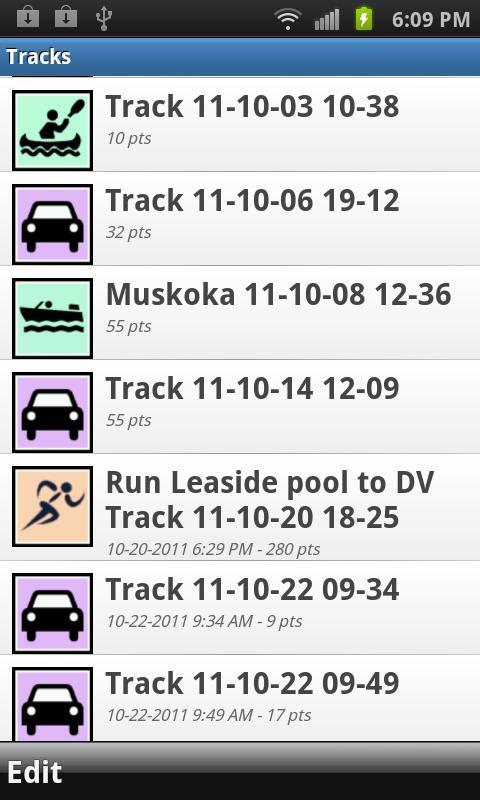
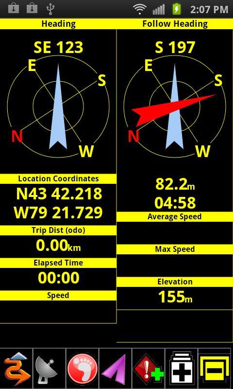
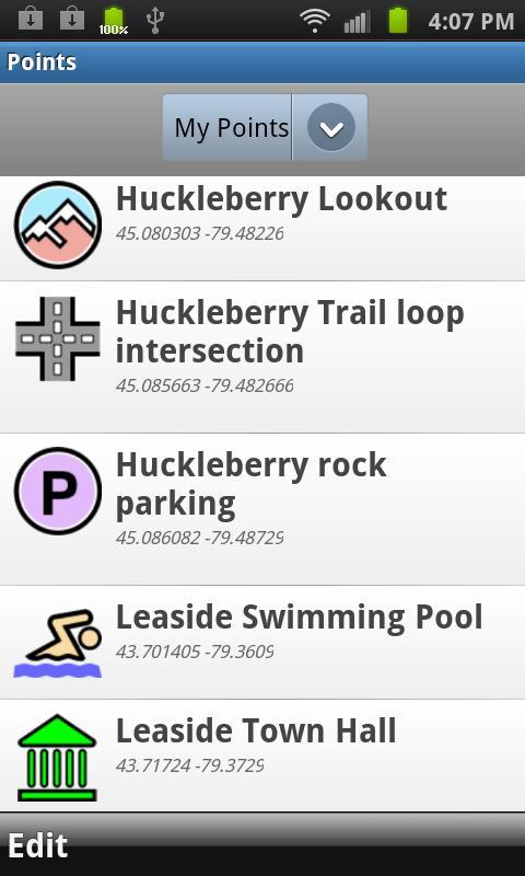
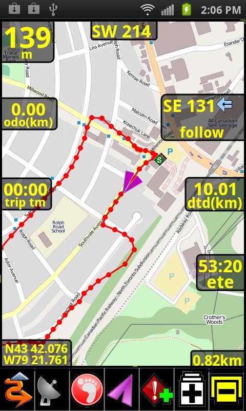
Free (Ad supported version of PathAway LE). Powerful and versatile Outdoor GPS application for any recreational or professional use. Record tracks, capture points, create and follow routes, navigate with online maps. Maps are downloaded on-the-fly and are cached on the device so they're available when there is no data coverage. Notes:The Free Edition has the full functionality of PathAway LE (Lite Edition). No functional restrictions! Purchase PathAway LE to run without Ads.Free and LE Editions do not include support for customized PathAway maps (.prc). Choose PathAway Express Edition or higher for PathAway map file support. *** PathAway LE is Now ON-SALE 40% off for a limited time. This is a great time to get PathAway without the Ads.PathAway's powerful feature-set makes it useful for backcounty and outdoor adventure or any outdoor GPS activity such as aviation, boating, off-road driving, hiking, cycling, touring, Geocaching, rally racing, motorcycle touring, running and athletic training, ballooning, fishing, hunting, paragliding, mountain climbing, ultra-light flying, canoeing, snowmobiling, scuba diving, outdoor education, mapping/GIS, mining, military training, surveying, site inspection, telematics, field data collection, search and rescue, or any application where location is important. Features: - Tried and tested software base developed with user feedback over the last 10 years on many different mobile device platforms; Maps: - Use online maps from Google maps, OpenStreetMap, OpenCycleMap (Topo), USGS Topos and aerials, FAA USA Aviation charts, ArcGIS World and USA Topographic, Natural Resources Canada topographic maps; - Maps are downloaded on-the-fly as you travel; - Maps are cached for off-line use when connectivity is not available; Tracking: - perform extensive GPS track logging limited only by system memory; - track in the background while using other applications or with the device locked.- Pause and continue track timer for precision timing; - One touch "BackTrack" feature to find your way home after recording your way out; - Manage and Edit Track logs and track points; Points: - Capture points, describe by name, icon, description, photo from gallery or camera; - Over 100 icons to choose from; - Manage and Edit Points; - Organize your points by creating multiple Points Databases; Navigation: - Navigate using point-to-point or multi-point routes; - Create navigational routes simply be tapping on the map to add or insert route points; - Proximity to point and off-track Alarms; - Auto Rotate maps to direction of travel - Uses build-in magnetic compass for slow speed directional location. Great for Geocaching when you’re trying to pin-point a cache.. - View navigational information on a customizable dashboard; - Map View or Compass and Info Views; - Multiple coordinate grid and datum display including lat/long, UTM, OSGB, MGRS, MGA, GGRS87, Warschauer, Localized Grids for Austria, Germany, Quebec, Sweden, Switzerland, Israel. - Import/Export GPX, KML, KMZ, and PathAway delimited files.
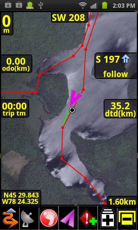
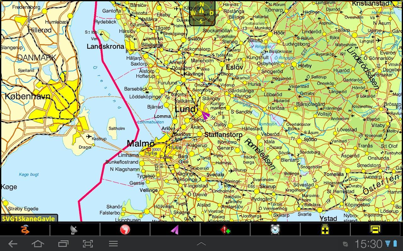
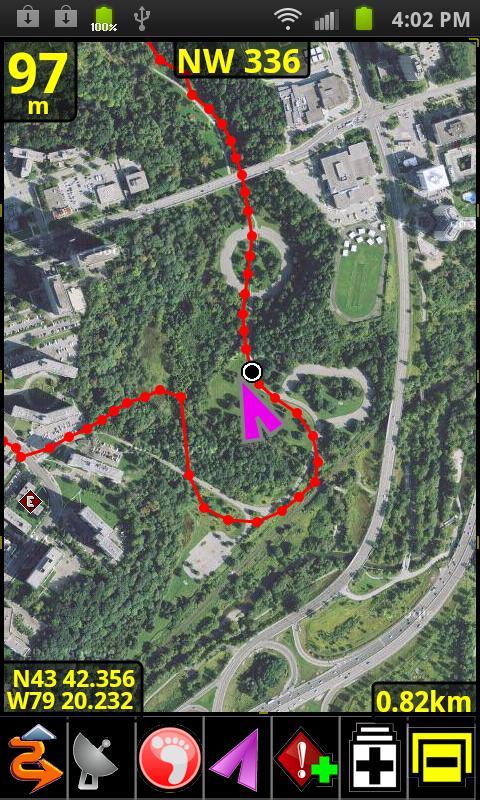
应用截图
你可能还会喜欢
-
 类型:教育学习
-
 类型:体育竞速
-
 类型:办公商务
-
 类型:聊天通讯
-
 类型:阅读学习
-
 类型:生活地图
发表评论共有 0 条软件评论
- 本软件还没有玩家发表评论,快来抢占沙发吧:)


