关闭纠错举报
我站仅对该软件提供链接服务,该软件内容来自于第三方上传分享,版权问题均与我站无关。如果该软件触犯了您的权利,请点此版权申诉。
+ 展开全部应用介绍
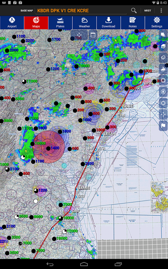
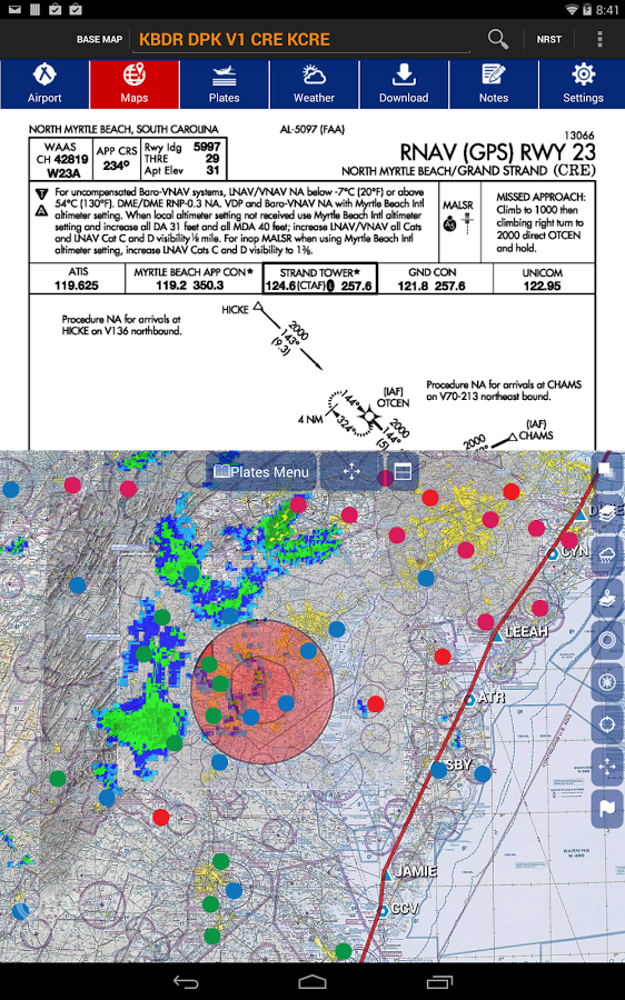
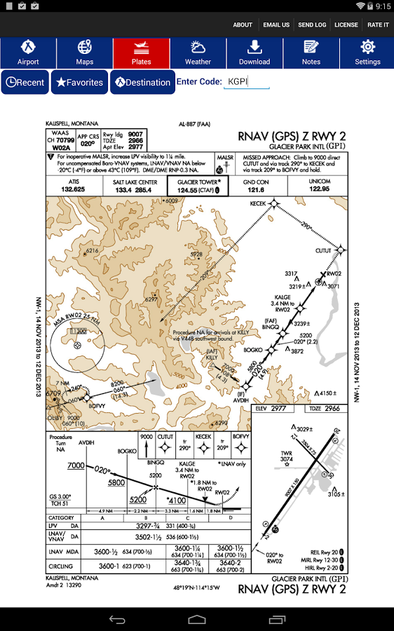
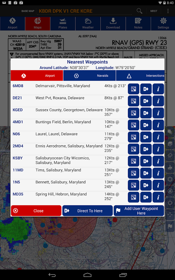
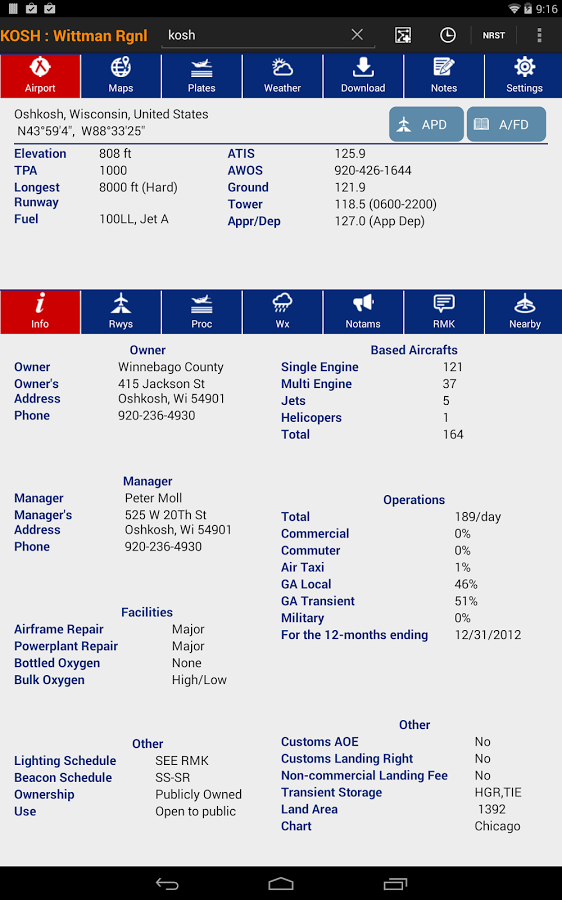
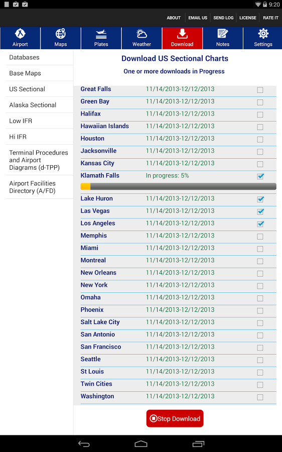
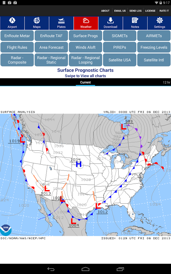
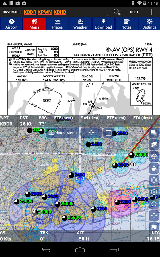
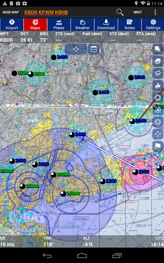
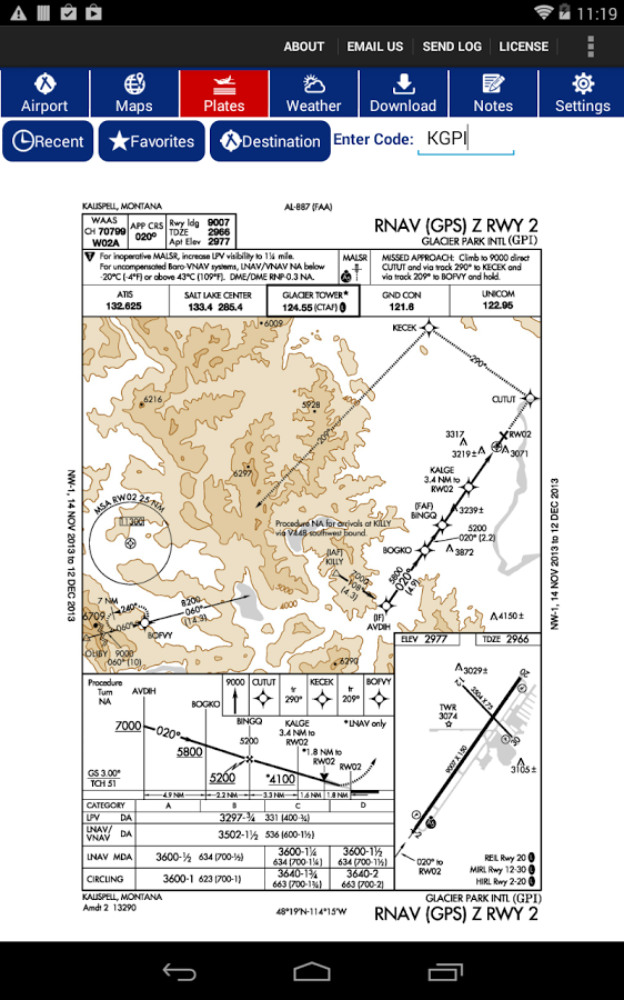
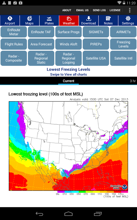
Pricing: 45-day free trial then $4.99/month - includes Fuel prices and Geo-referenced approach plates and runway diagrams at no extra cost. There is no other Android App with a feature set so rich and a price so unbeatable. Highlights:See your GPS position on seamless/stitched Sectional, IFR Hi or Low charts. Track-up or North up. Fast, flicker free, high-quality maps - powered by BA3 Altus mapping engine - same mapping engine that powers the most popular apps on iPAD/iPhones.Geo-referenced approach plates and runway diagrams - at no extra cost.FBO Information and Fuel Prices (updated daily: courtesy GlobalAir.com) - at no extra cost.DUAT Briefing and FilingHi-res Terrain and obstaclesBends-only Victor airwaysWinds aloft in flight plansSupport for both phones and tablets - landscape or portrait mode.Split-screen support (See Plates side-by-side Map)Graphical Rubber-bandingEntire range of weather imageryAirport page: Global database of 44,000 airports with NOTAMs, Runways and FrequenciesFor US Airports: Operational statistics, Remarks, IAPs (Plates), A/FD (Airport Facility Directory) and Airport DiagramsFlight Planning:Rubber-banding - simply drag the line !Victor airways (including bends-only planning)Support for round-the-world flight plansWinds Aloft compensation in the flight planAltitude optimizer (find optimal altitude based on winds aloft for speed and temperature for comfort)Map/Nav PagePowered by High performance BA3 Altus Mapping Engine !US Sectional, IFR Enroute (Low & Hi) charts, Track-up or North-upChoice of basemap: Mapquest Satellite, OpenStreat Map, World Map with rivers & political boundariesAutomatic runway extensionUser WaypointsDirect To NavigationMap Page Overlays:Graphical TFRsNexRad, IR/Vis SatelliteAirspaces (Class B, C, D)Metar parameters (Flight rules, Sky Condition, Temperature, Visibility and Wind)Weather Page:Metar and TAF along route of flightSurface Prognostic charts, SIGMETs, AIRMETsFlight Rules, Area Forecast, Winds ALoft, PIREPs, Freezing Level chartsRadar Composite, Rada Regional (static and Looping), Satellite (US and International)Download page:Download multiple maps concurrentlyContinue to use the app while download is in progressGeo-coding search - on airport page and map page
应用截图
你可能还会喜欢
发表评论共有 0 条软件评论
- 本软件还没有玩家发表评论,快来抢占沙发吧:)


