关闭纠错举报
我站仅对该软件提供链接服务,该软件内容来自于第三方上传分享,版权问题均与我站无关。如果该软件触犯了您的权利,请点此版权申诉。
+ 展开全部应用介绍
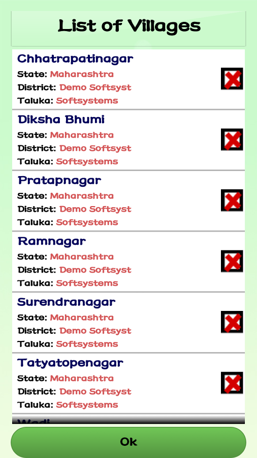
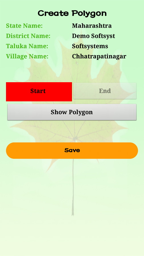
PILLARS:"Primary Identification of Lat-Long of Location Address with Reporting System" (PILLARS) is an Android mobile app that helps the user to Geo Tag/Geo Fence one particular location or the entire area just on the click of a Start and End button. This app generates a Polygon of the area covered by the user and returns the list of Lat-Long of the area covered by the user.The application is very simple to use. User just have to press the "START" button to move around the area either walking or on the bike/Car and press the "END" button to complete the Geo Fencing.The step by step instructions on how the app should be used are mentioned below:1. Down Load PILLARS from Goggle Store2. Enter Authorized User Id & Password to Login to the App3. Select the State, District and the Village/Area that you need to Geo Tag/Geo Fence4. Press the "START" Button to start Geo Tagging the desired Area5. Move around the area you want to Geo Tag or Geo Fence6. Come to the Starting Point and press the "END" Button7. Once you press the "END" Button, the App will generate the Polygon of the area covered by the user8. Press the View Polygon button to view the Polygon9. If you are not happy with the area you have covered for Geo Fencing, then press the "Option" button of your Android device to Re-Take the Polygon.10. Repeat the steps from 4 to 811. If you are happy with the Polygon, then Press the "SAVE" button to save the Data.12. Login to the Web Site to view the Lat-Long and the Polygon of the Area you have just covered.13. Press the Download button to download the list of Lat-Long of the covered area.14. You can also capture the Lat-Long of a particular location such as Shop, Dealer, Office, House etc. by clicking on the Dealer's button
应用截图
你可能还会喜欢
发表评论共有 0 条软件评论
- 本软件还没有玩家发表评论,快来抢占沙发吧:)


